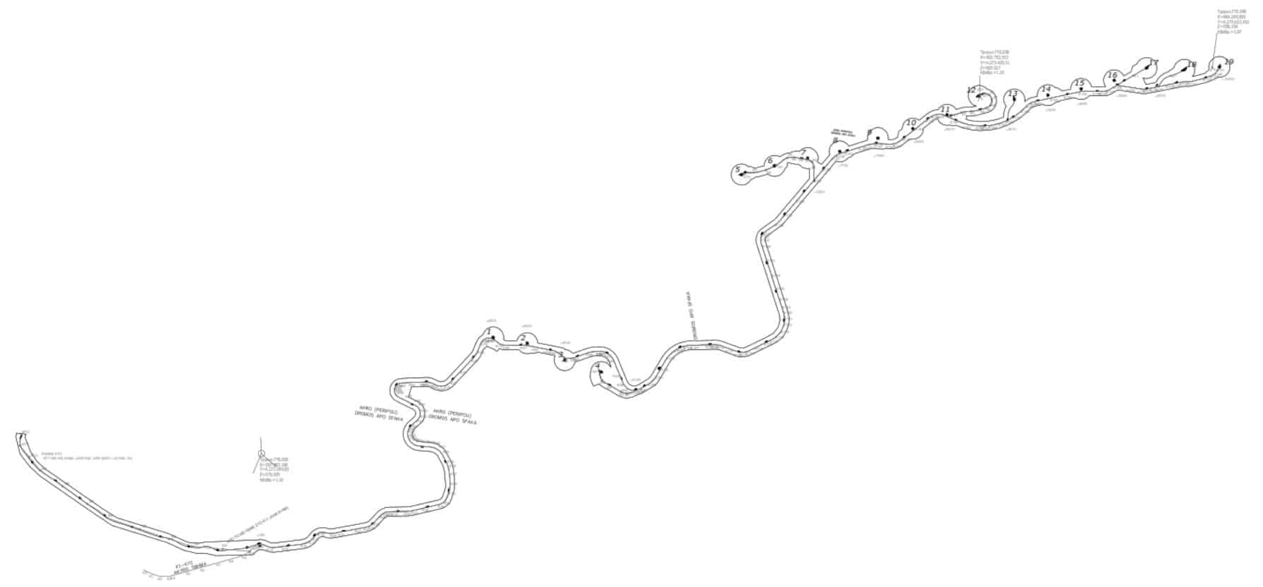
TOPOGRAPHIC IMPRESSION FOR A FINAL ROAD STUDY FOR THE WIND PARK ‘HLOMO ΙΙ‘
Year: 2013
Area: Fthiotida
Surface of landscape survey: 1200 acr
Length of landscape survey: 13,6 klm
Project description:
-
- Topographic mapping with altitude for the opening of new roads approximately 13.6 km long and Zone to be mapped at 60 meters at the “HLOMO” Site (approx. 800 acres)
- Topographic mapping for the purpose of detailed horizontal and elevation mapping of the 19 wind turbine construction squares in a circle with a radius of 70 meters and the center of the wind turbine foundation
- Establishment of a trigonometric network, installation of a polygonometric network and installation of a Reper every 1000 meters in places where no intervention is foreseen.


